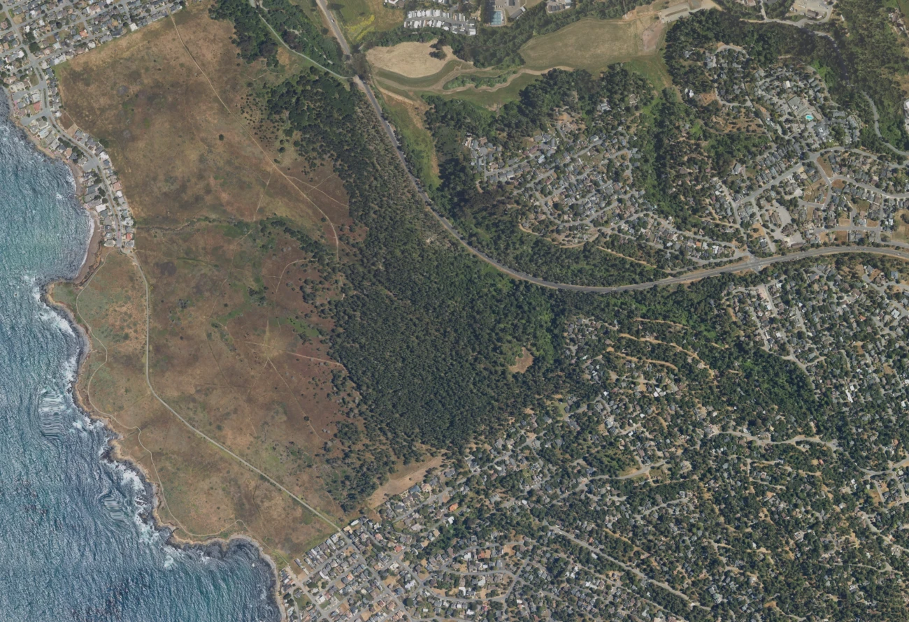
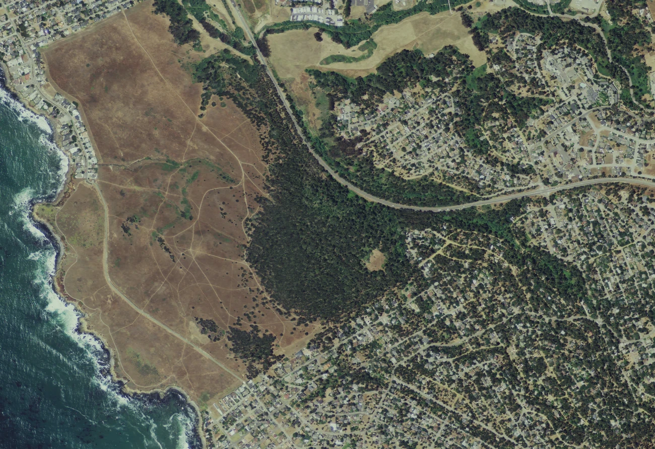
Explore the preserve
Only years that keep the earlier photograph on the left are available.
Loading aerials…
JavaScript is needed for the comparison controls. View the original-color 2024 aerial.
Nine dated USDA National Agriculture Imagery Program aerials, 2009–2024. North is up. All images share the same projected extent and 1300 × 890 display grid at 2 metres per pixel (EPSG:26910). This is not annual monitoring.
Grass-tone matching is a display aid, not calibrated reflectance. Season, shadows, haze, source resolution, and small alignment differences remain. These photographs do not establish species, planting boundaries, survival, or measured canopy change. The last image is May 26, 2024; it does not show later work.
Image provenance · Color transformation and checksums
Imagery credit: USDA Farm Production and Conservation Business Center / NAIP. USDA imagery information.